Monday: I awoke to the roaring some of something primeval… One of my roomies was snoring as I have never heard another human being snore. The most interesting thing about this, is as I lie here writing, everyone else is managing to sleep through the noise. It’s astounding.
I’m feeling slightly regretful this morning for several reasons; 1. I can’t exactly recall how much I spent last night across the three bars we visited and the Ferg burger at the end of the night 2. I wish I didn’t have those funny shots but on the plus side, I’m glad I didn’t drink that massive jäger bomb as I am feeling a little delicate this morning. And at times, a bit sick. Not as bad as on previous occasions but there’s enough remorse ahead of a day spent on a bus.
Anyway, onwards!
I’ve officially joined The Bottom Bus! (The Deep South leg of the Kiwi Bus).
In about 5 hours, I’ll be in Dunedin! Something I’m super excited about! It’s a place that had me at “the Edinburgh of New Zealand”. We’re stopping in Clyde on the way. Yay! This is all starting to sound a bit Scottish to me!
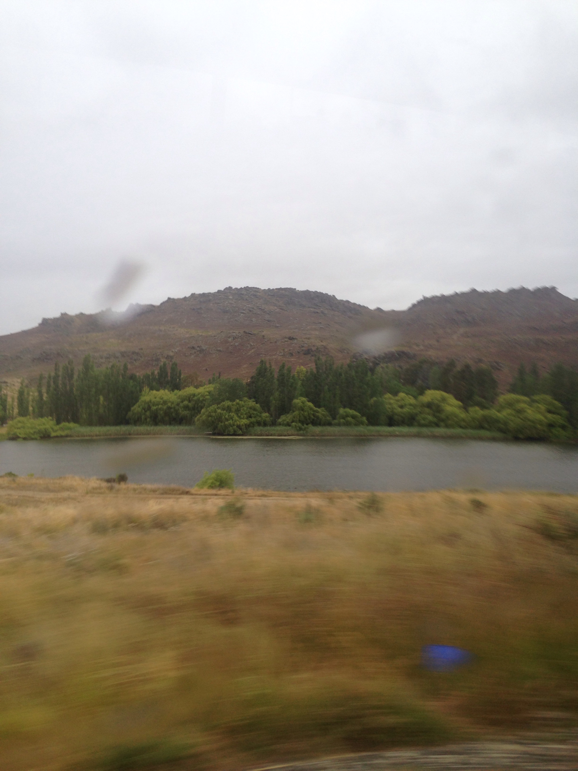
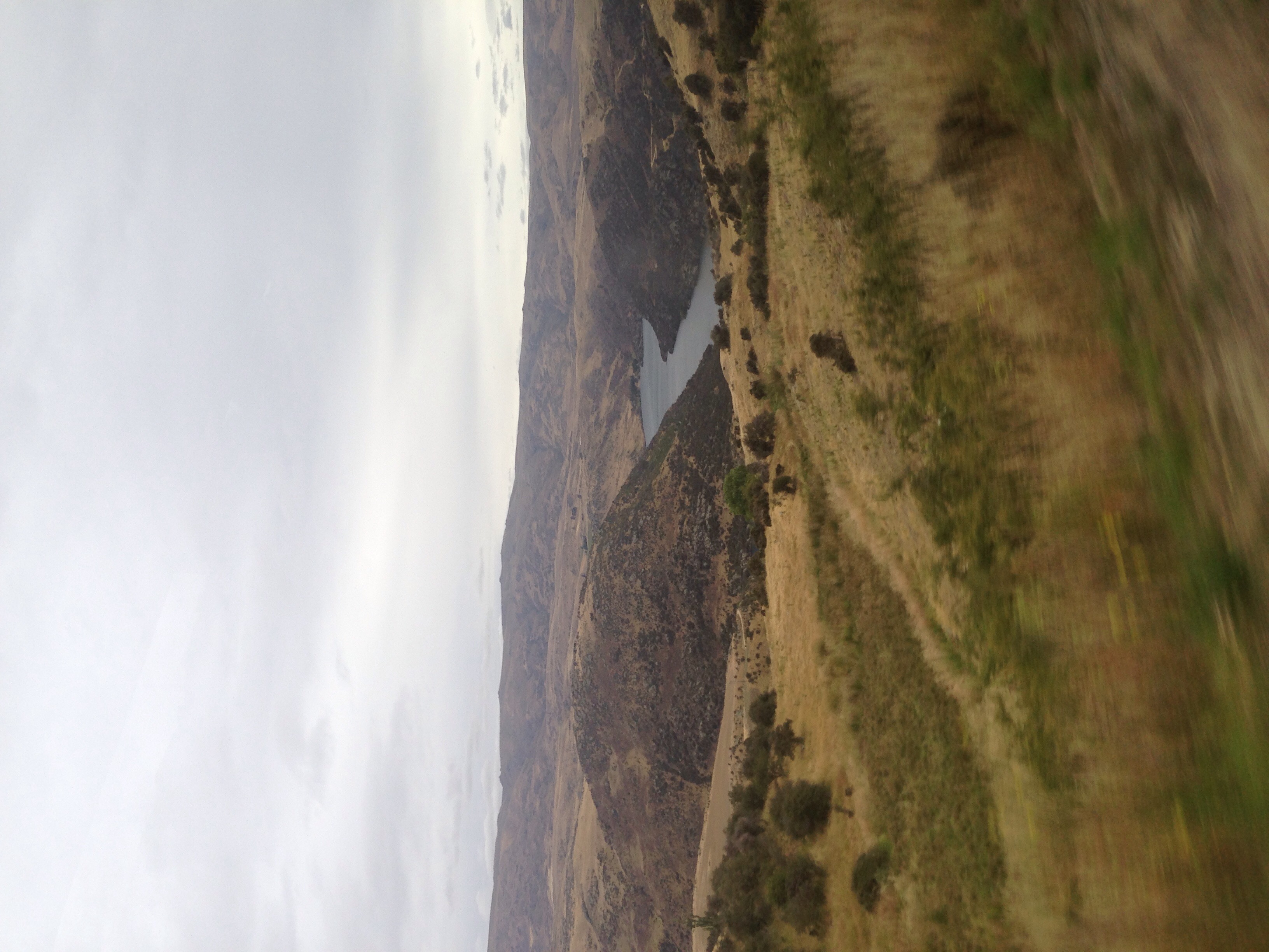
Driving past ‘Roaring Meg’, previously famed for gold panning, particularly by Chinese settlers, now more often associated with river rafting.
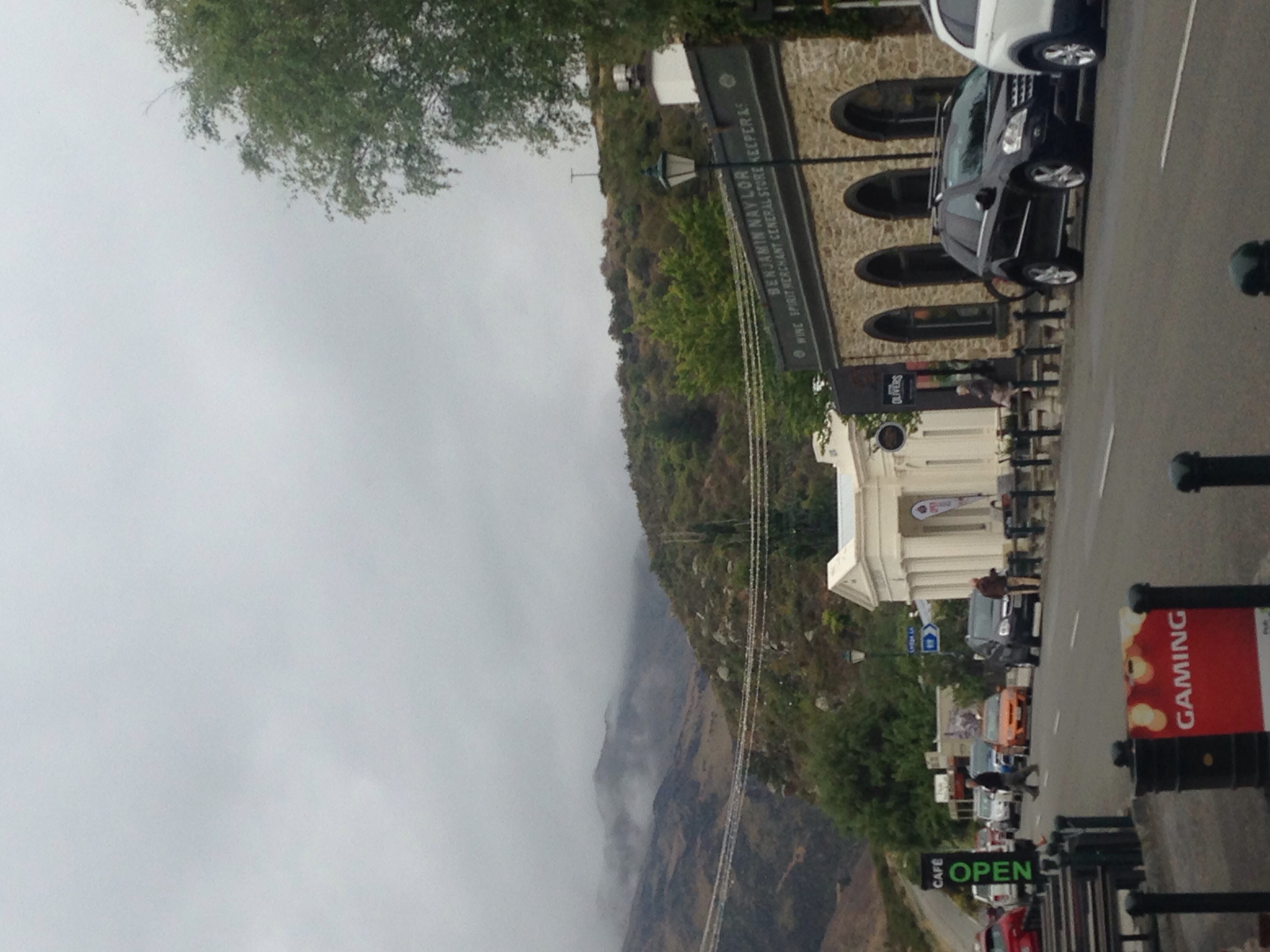
Back to Cromwell! A gateway town between Queenstown and Wanaka, both associated with lakes and ski fields. Cromwell is all about vineyards! Old Cromwell moved because the river was dammed, which flooded half of the town so New Cromwell was developed. Over the last 20 years, housing prices have steadily begun to increase. Most of Old Cromwell now sits below lake Dunstan.
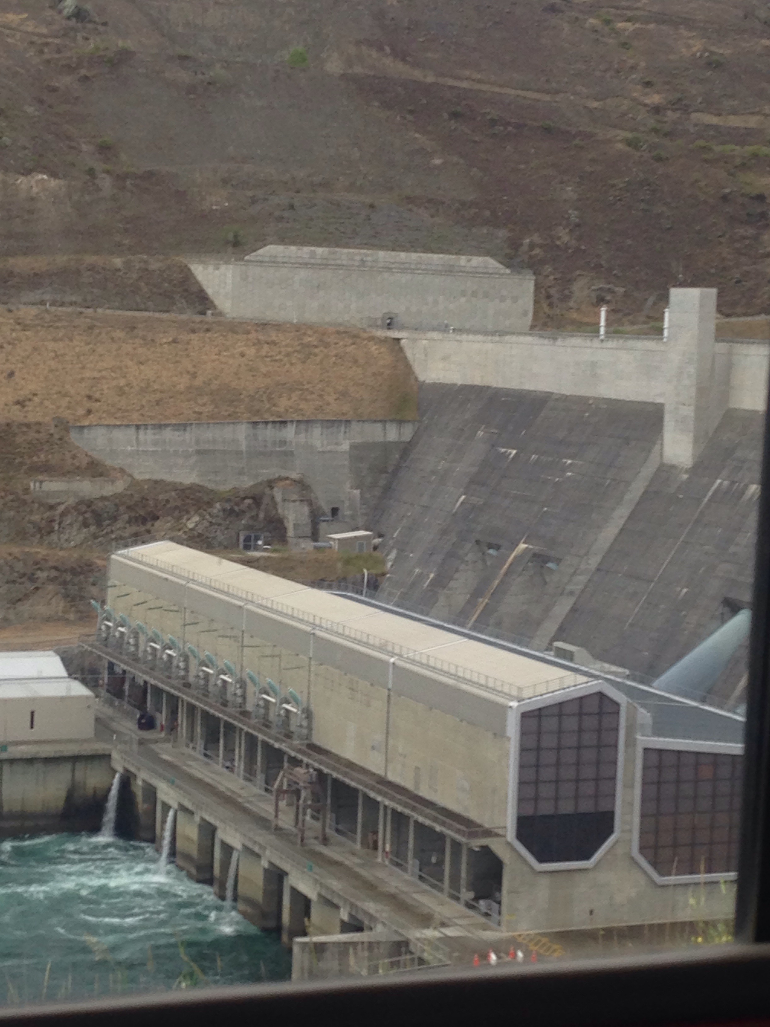
Clyde dam is the largest dam in the country and creates enough energy to power most of the South Island. There are only approximately 800 permanent residents here in Clyde but it does get busy over the summer period. We stopped in Clyde to get lunch, I got a salad from the Bank Cafe, it was great! It reminded me how good NZ salads are. They’ve definitely got them right!
Top tip from the driver while driving through orchard country: “if you do buy cherries, try not to overindulge in them because it doesn’t work out too well the next morning”. We’re taking the back roads which is pretty exciting! The affects of climate change are very apparent here. A vineyard round here was once world renowned but the temperature has actually dropped so in the winter the grapes do not mature properly as they get attacked by frost bite.
On to Roxburgh… This area is actually closer to the South Pole than the equator which is why the weather is so turbulent. The mountain ranges tend to hold the weather systems here, meaning it can rapidly change, not just in terms of rain, but in the overall temperature. Our driver told us he’s experience 35 degree weather at 10 am and by 11.30 am it was -2 degrees!

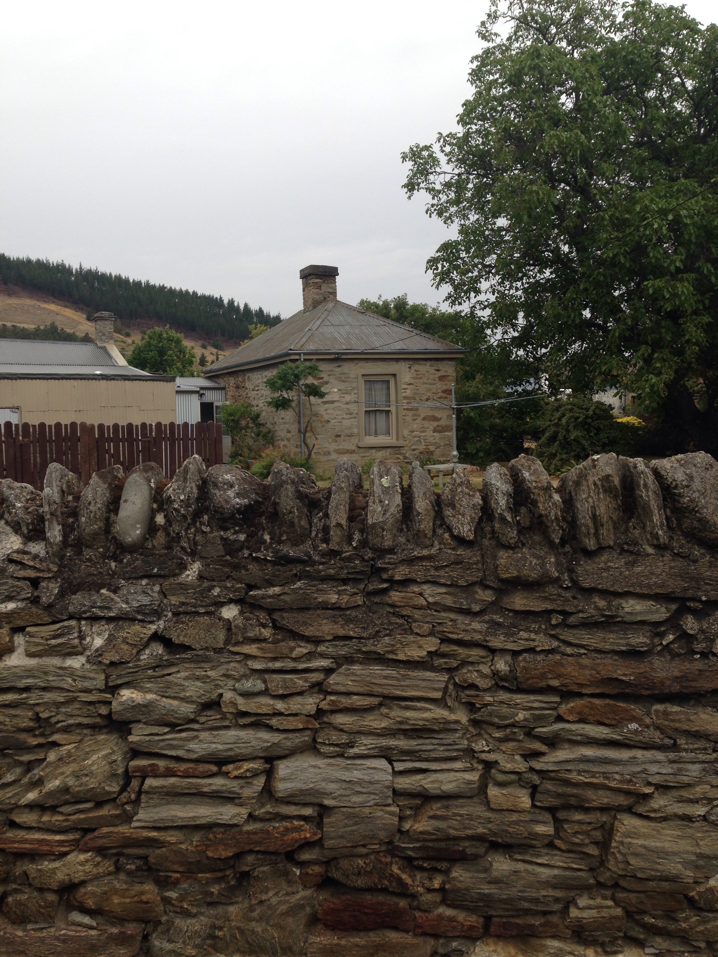
The rocks from the landscapes were traditionally used to build houses here because although most NZ houses are made of wood, there is not enough raw material in this area to support this. Sometimes wood was even imported from Canada! Pine trees in NZ are shipped to China and used for infrastructure and flood defences.
Roxburgh – I’d describe this as a ‘sleepy town’, namely because it didn’t actually look like anything was open. The windows of all the shops and restaurants we passed looked pretty dark and generally closed. The biggest economy here is ‘Jimmy’s pies’ which are apparently the best pies in New Zealand!
One of the things that strikes me about this drive, is the lack of birds I’ve seen. There are plenty of sheep, cattle and the occasional horse, but the skies remain empty. Of course, just moments after writing this, I see a handful of birds.
We’re heading to Lawrence, this is where the gold strike began! Lawrence used to be the centre of the gold industry, but now the economy is based on dairy and sleep farming! We drove past Gabrielle’s gully which was the first gold mine!
We’re heading through the most dangerous driving area in NZ, or at least where the most amount of accidents happen – particularly during winter. Manuka gorge is particularly famed for its black ice.
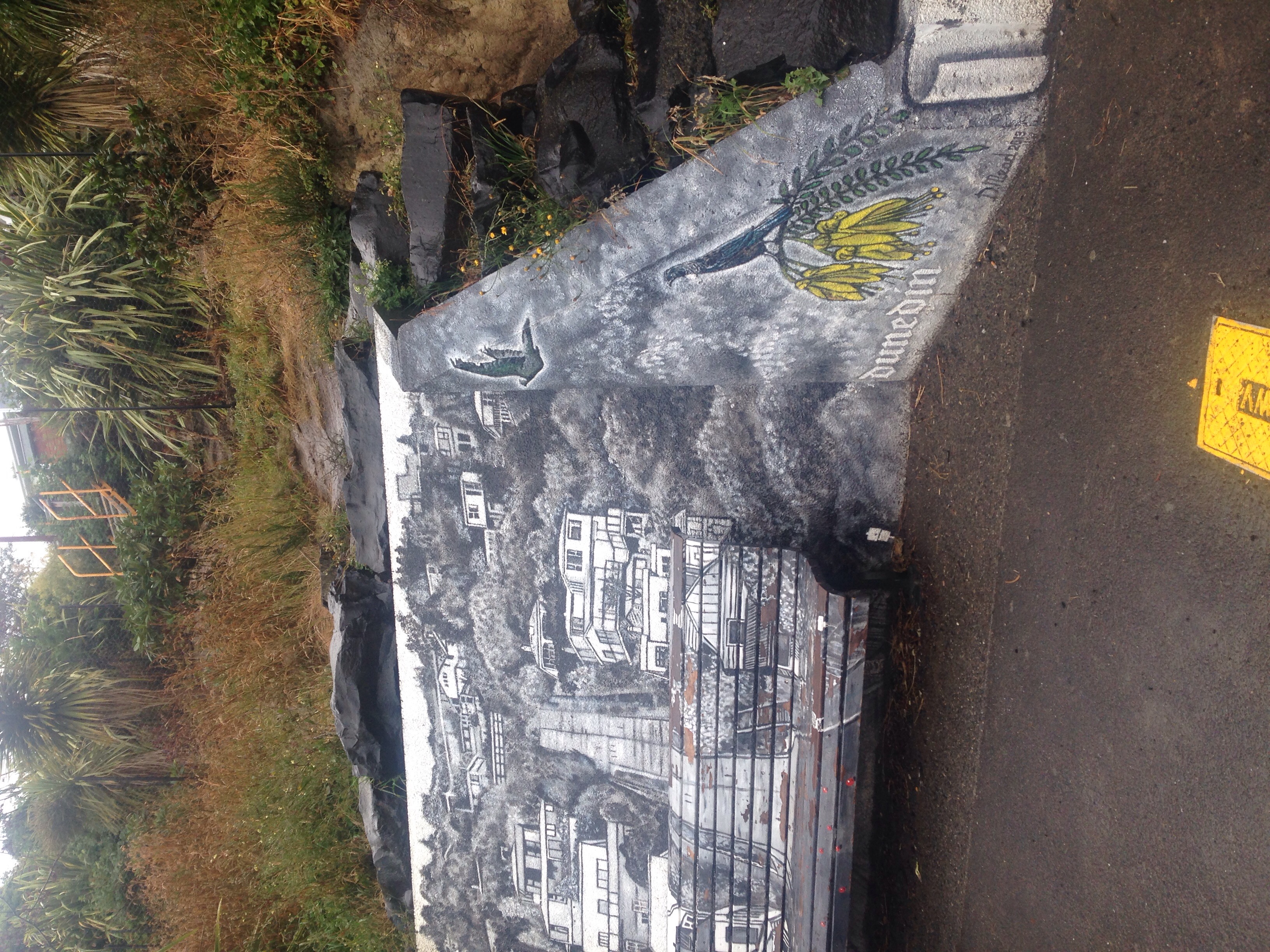
By area, Dunedin is the 5th largest city in the world! It was developed by Scottish settlers from Edinburgh, as such many streets are named and geographically positioned as they would be in Edinburgh, apparently this is most noticeable in the city centre.
FACT: In 1900 the Dunedin economy collapsed, during this time many houses were made of red brick because they could be produced quickly.
FACT: Otago university is integral to the economy as the oldest university in NZ and one of the oldest in the world.
FACT: There’s no land mass between the beach and the Antarctic making it pretty chilly at times!
FACT: The large harbour surrounding Dunedin was once a dormant volcano.
FACT: During 1860-1990 much of the development of Dunedin took place, making it one of the oldest cities in New Zealand, it also looks a lot older too. There’s a noticeably gothic and Victorian feel to the place.
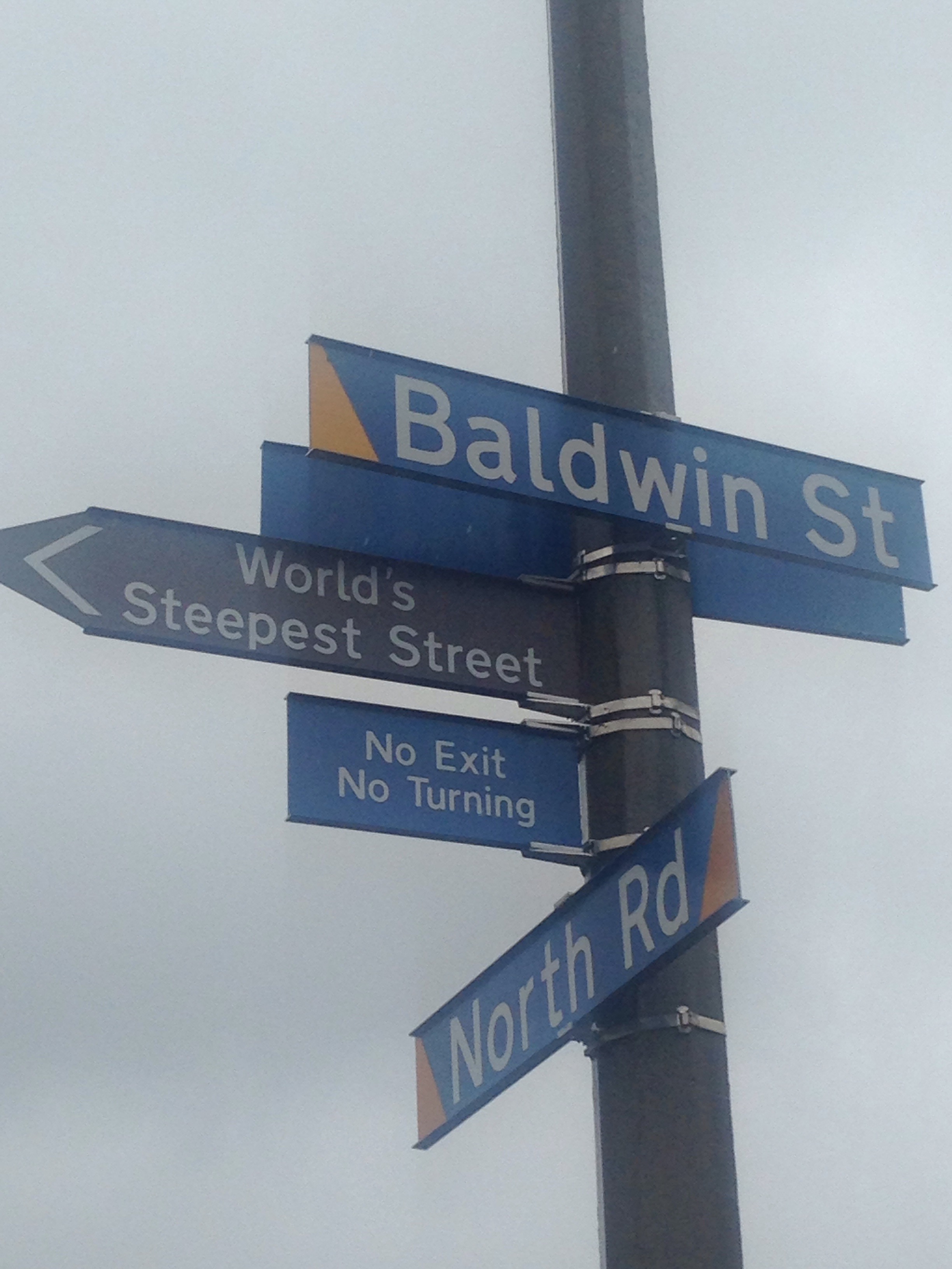
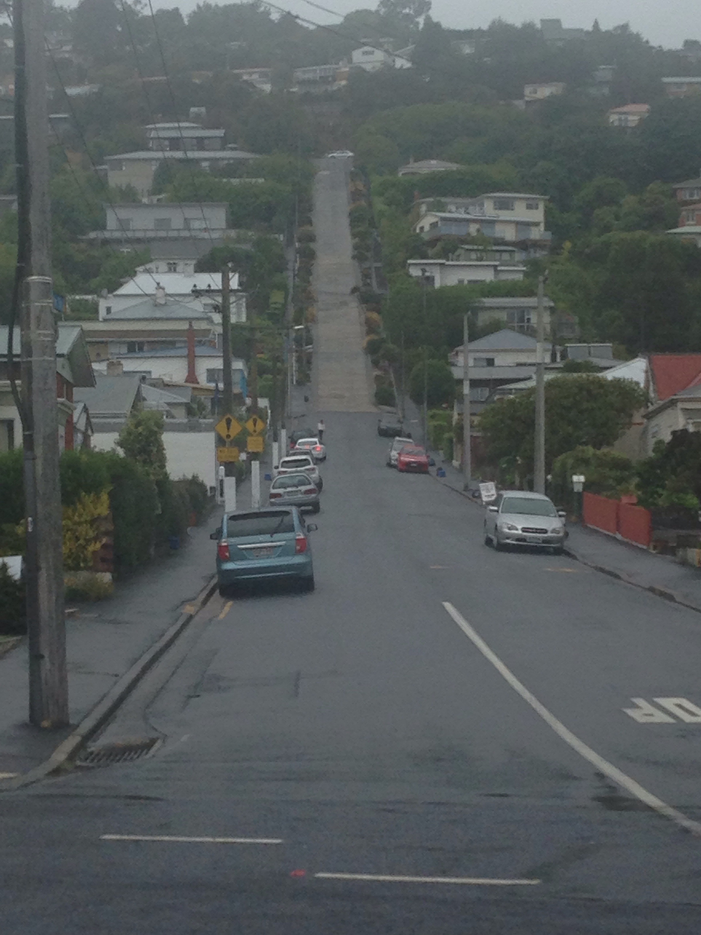
The original city plan for Dunedin was a large flat English city, however, when the Scots got here, they tried to gain more space which is why Dunedin has some of the steepest streets in NZ and even the world! This is officially the steepest street in the world and we walked up it!
We spent the evening getting our bearings and walking around the city, figuring out what we might do tomorrow. From what I’ve read, the Taieri Gorge Railway is a must. We walked past the railway station and there’s two trains a day, 9.30 am and 2.30 pm… Let’s see what tomorrow brings!